exhibition
Tentoonstelling
Irrigation knowledge
Citarum River, then and now
INTRODUCTION

The Netherlands and Indonesia share a close relationship with water. Both countries are prone to floods from rain, rivers and the sea, and both have built up and maintained sophisticated water management systems.

This exhibition explores the legacy of Dutch engineering in the field of irrigation in the Dutch East Indies, and the impact these systems still have on Indonesia today.

Irrigation Education

In the Dutch East Indies, the Department of Public Works was responsible for the construction of large-scale civil engineering projects, among which were many irrigation works. At the end of the 19th century, the department required new engineers to have a diploma from the Delft Polytechnic.

These civil engineers were often the single technical authority in a large region and were therefore responsible for more tasks than their colleagues in the Netherlands. Moreover, differences in soil, climate and topography with respect to the Netherlands led to a growing demand for specialised irrigation courses at the Delft Polytechnic.

In 1919, Delft technical college first appointed a full professor of irrigation technology, the engineer Haringhuizen. All of his graduate students were asked to design an irrigation system. This was presented according to the graphic system by Van Rosse: blue for irrigation channels; red for drainage channels; a solid, thick line for main channels and thinner or dashed lines for smaller channels.

In 1920, the technical college in Bandung opened its doors, with a curriculum for civil engineers. H.C.P. de Vos, an engineer from Delft, was the first professor of Hydraulic Engineering in Bandung.

The legacy of the East Indies can still be seen in the use of different formulas to calculate canal dimensions and water flow velocity. While the originally Dutch-oriented department of Hydraulic Engineering used the Chezy formula, Water Resources Engineering continues to apply Strickler’s formula. Both formulas arrive at the same result with a degree of accuracy of 5-10%, as they relate water flow velocity to the resistance of a canal or river, but the specific formulas are different.

Land surveying in the Dutch East Indies

Land surveying

Accurate maps of the region were essential for new engineering projects. Mostly hand-drawn by engineers using geodetic instruments, these so-called contour maps included contour lines, joining points of equal elevation. A reliable contour map allowed engineers to plan canals and other irrigation structures.

Measuring instruments, such as the boussole, were developed and adapted for the mountainous context of the Dutch East Indies. This single instrument could be used for measuring geographical location, direction, distance and elevation. Not only were boussoles used for map making, they were also operated by land surveyors for the construction of irrigation structures.

In addition, other geodetic instruments such as the hypsometer were used to measure the elevation of a location. The instrument consists of a thermometer, the bottom of which is placed in a water reservoir which is brought to boiling point by the spirit burner underneath. The hypsometer was used as an altimeter on expeditions. The boiling point of water is used to determine the air pressure. The thermometer indicates the boiling point of water and the elevation can be derived using a mathematical calculation.

Despite the accuracy of instruments and the resulting maps, in practice it was not so simple. Engineers responded to unexpected situations with an ‘if it doesn’t exist, invent it’ mindset, and made changes where needed.

Main waterworks canal at Pekalen

Pekalen irrigation works

Irrigation systems were used to grow different kinds of crops. Canal systems and management procedures were needed to ensure that all fields and crops were properly irrigated. By way of an experiment, two irrigation systems in Eastern Java were selected to test two different approaches. At the end of the 19th century, Irrigation works in the Pekalen area, designed by the engineer A.G. Lamminga, were compared with those under the responsibility of the engineer C.W. Weys in the Patoegoean area.

In the period from 1895 to 1903, Lamminga designed and built many sluices, dams and other irrigation works in the Pekalen region. He paid great attention to the management of irrigation works, particularly the distribution of water between the sugarcane cultivated by private companies and the rice cultivated by farmers. After working on the Pekalen project, in the 1890s he continued with the design, construction and management of the Pemali works on the central Javanese north coast. These works became the standard for Dutch colonial irrigation systems.

Lamminga is still considered to be the founder of modern irrigation technology in the Dutch East Indies. He later became professor of Dutch East Indies Hydraulic Engineering at Delft Technical College. Just before his death in 1920, he set up a special fund called the Lammingafonds. This fund continues to offer financial support to TU Delft students to study water issues abroad.

Sugar company in East Java

Unequal water distribution

In 1830, the Dutch colonial state implemented the “cultivation system” which ordered indigenous farmers in the Dutch East Indies to reserve 20% of their land for the production of export crops. Export and food crops were grown in the same irrigation system. Canal systems and management procedures were needed to ensure that all fields were properly irrigated. As sugar was an important export product, the Dutch colonial state demanded maximum harvests of sugarcane. The cultivation system, however, resulted in unequal water distribution as it created difficulties for growing food crops like rice, the staple food of Indonesian people.

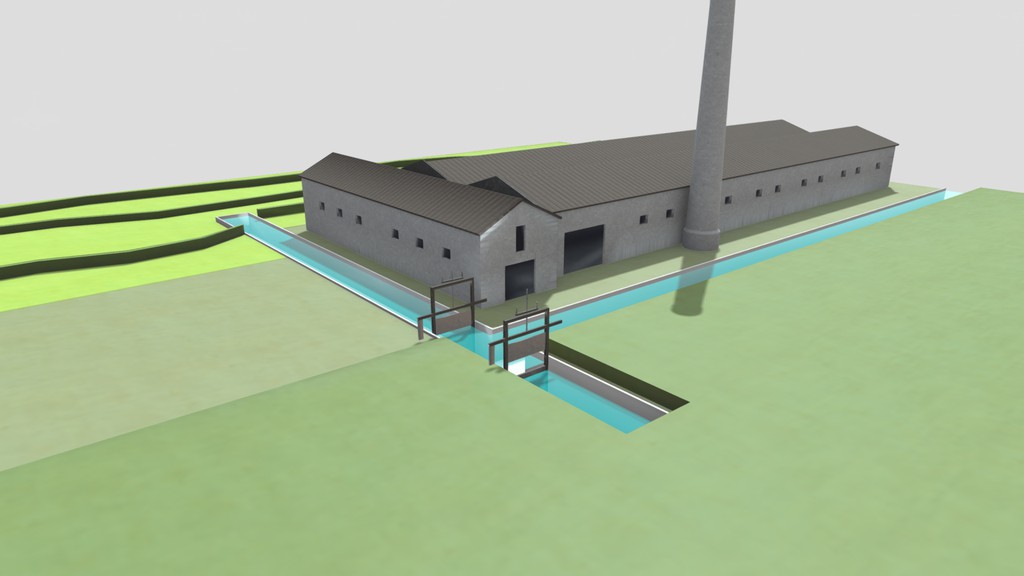
Rice and sugarcane have different cultivation periods. Sugarcane grows for three years, but only needs to be irrigated during the dry, east monsoon. During the east monsoon, farmers also grew so-called polowidjo crops (grains, vegetables, etcetera). The sugar fields were irrigated during the day, fields planted with other crops were irrigated at night. This complex water distribution could be realised, for instance, by using a Romijn weir.

The standard starting date for west monsoon irrigation was 16 October. The best fields, which were irrigated right from October, gave the best yields, but not all fields were evenly irrigated. Therefore, each field was made part of a larger unit, a golongan. A typical irrigation system had about 5 to 7 golongans, receiving water one after the other. Every year, another golongan was allowed to start irrigating. However, occasionally this circulation of ‘first right’ was not fully applied.

Sugar plantations wanted to plant their crop directly after the rice was harvested. So, plantations preferred that the fields they were going to rent would be in early golongans. However, some rice fields were never rented by the plantations, which meant that these fields could not be (or become) part of an early golongan. Furthermore, the fields that were given back to rice farmers when the east monsoon ended could not be irrigated early either, as they first needed to be prepared for rice cultivation.

So, in different ways, the two seasons created an unequal relationship between cash crops and food crops.

Animation of a Romijn Weir

Bamboo bridges

In 1894, in the Journal of the Royal Institute of Engineers, an engineer warned that indigenous bamboo bridges would soon disappear in the Dutch East Indies. He explained that because the bridges were being replaced by permanent modern ones made of steel or reinforced concrete, traditional structures would gradually disappear. These structures, built by the indigenous population, often used large quantities of material and labour and had to be replaced regularly due to decay and damage caused by floods. Nevertheless, they bear witness to the ingenuity of the indigenous population.

While the engineer was correct, and most temporary bridges did indeed disappear, these unique bridges captured the imagination during the colonial era. They were depicted in photographs and reconstructed as models displayed at colonial exhibitions or colonial institutes.

Models of bamboo bridges were also kept in the collection of the Department of Material Sciences of Delft Polytechnic. This collection originated from the 1883 colonial exhibition in Amsterdam, where models of bamboo bridges were on display.

To this day, however, the exact provenance of the in total three bridge models in TU Delft Library’s Special Collections remains unknown.

Bamboo bridge model